- Historic Pawtuxet Village/Stillhouse Cove
- East View Street, Warwick, RI
- Trailhead: 41°45’44.74″N, 71°23’20.36″W
- Last Time Hiked: August 6, 2022
- Approximate distance hiked: 1.5 miles
- Easy, some brick walkways.
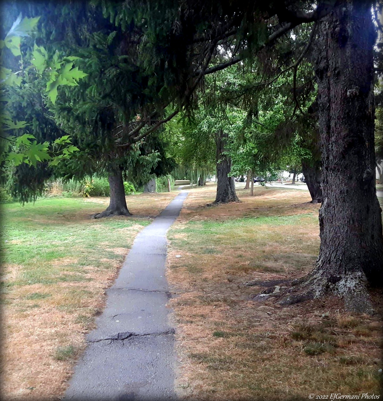
The history of Pawtuxet Village dates back to 1638 when Roger Williams purchased land from the Narragansett Indian Tribe. The Pawtuxet River at this time would serve as the southern boundary of Providence. Soon thereafter, Samuel Gorton, the founder of Warwick, purchased the land south of the river. The village over the years has served as a seaport, a mill village, as well as the site of one of the most famous pre-Revolutionary War events. Today, it is a destination for restaurants, small businesses, and historical sites. For this walk, start at the parking lot just south of Pawtuxet Park on East View Street. Follow East View Street to Narragansett Parkway and turn right. Here you are greeted by the “Historic Pawtuxet Village” sign. Turn left onto Post Road, now walking opposite traffic, uphill a bit to a crosswalk. At the crosswalk turn right. This brings up to a small triangle area with several perennial flowers. To your right is the 1814 Pawtuxet Bank Building. It was built by the Rhodes Brothers and housed a private school on the second floor. In the late 1870’s it became a hotel with the Bank Cafe on the first floor. It is said that this is where Rhode Island johnnycakes were first introduced. From here turn right and follow, again against traffic, Post Road downhill. Across the street is a row of historic homes built between 1734 and 1800. Making your way downhill you will come upon a stone marker in front of 28 Post Road. The inscription is quite faded, but it indicates that you are five miles from the bridge in Providence. (That would be the bridge at Weybosset Neck, near current day Crawford Street Bridge, being five miles along Broad Street and Weybosset Street.) Continuing downhill you will then come upon a building on the right at the intersection of Post Road and Narragansett Parkway. This building, originally built in 1760, first served as a custom house where ships were registered when they docked. Later it served the village as a post office. Today it is a commercial property. Continuing north, you will cross the Pawtuxet River into Cranston. The river earned its name from the Narragansett word meaning “Little Falls” and that is exactly what you will observe here just below the bridge. The current bridge, built in 1932 is the eighth span at this location. The first bridge was built in 1711. Continuing ahead, now on Broad Street, you will walk through the heart of the commercial district of the village. Here you will find several small shops and restaurants. On the left you will come upon the Pawtuxet Baptist Church. This structure, built in 1891, is the third church on this site. From the time it was built to 1995, the bell in the steeple was used to summons the villages volunteer fire department when needed. Just ahead on the left is the Dr. Comfort-Carpenter house, built in 1750. Today it serves as a law office. Turn right onto Ocean Avenue. This road leads you through a typical New England suburban neighborhood before coming to Stillhouse Cove. Along the way you will pass an English Gothic structure, built in 1903, that houses the Trinity Church. Stillhouse Cove is a narrow bayside park with sweeping views of Upper Narragansett Bay. The park is utilized by dog-walkers, joggers, sunbathers, and yoga classes, to name just a few. At the end of Ocean Avenue at the southern end of the cove is the Rhode Island Yacht Club. It was founded in 1875 and originally located in Providence. It later moved to its current location where the first two clubhouses were destroyed by hurricanes in 1938 and 1954. The current modern day structure, hurricane proof, opened in 1956 and sits twelve feet above sea level. It has since survived hurricanes in 1985 and 1991. Just before the end of Ocean Avenue you will want to turn right onto Fort Avenue. This road is the main throughway onto Pawtuxet Neck. Other than a small marina, the peninsula is all residential. Just beyond Sheldon Street on the left is a marker indicating that once stood a defensive fort at this location that was built in 1775. It was one of a series of forts up and down the Upper Narragansett Bay that protected Providence from British invasion during the American Revolution. Retrace your steps a bit and turn down Sheldon Street. The road dips down to the upper reach of Pawtuxet Cove. You will find several boats docked in this cove. Across from the cove are a row of cottages dating back to 1887. Before turning left onto Springwood Street, take a peak around the corner of Commercial Street on he right. The original part of this structure was built in the late 1830’s. In 1891, it became the home of the Pawtuxet Village Volunteer Fire Department. The cinder block addition was added several years later. This structure housed the Fire Department until 1995. Continuing on Springwood Street, you will first pass the Arnold House on the left. Built in 1804, the house has a beautiful porch (now partially enclosed) that overlooks the cove. At the end of Springwood Street turn right onto Aborn Street, then left onto Bridge Street. (If you are looking for a quite refresher, stop by the PTX Lounge on Aborn Street before continuing). On Bridge Street you will pass the 1740 Remington-Arnold House before coming back to Broad Street. Turn left on Broad Street and cross the river once again, now back into Warwick. You will pass a couple of houses on the left, all built in 1775, before coming to O’Rourkes. This building was built in 1898 and now houses a bar/eatery that is one of the villages best known stops. Turn left down Peck Lane, laid out in 1734 served as the original road to Pawtuxet seaport. In June of 1772, the British patrol ship HMS Gaspee ran aground. The ship was set afire by colonist protesting British rule over the colonies. The crew of the ship were brought ashore and held prisoners. At the end of the Peck Lane is a monument indicating the spot where the prisoners of the Gaspee were brought ashore. Peck Lane is a public right of way to the edge of the cove (according to the City of Warwick records), however, the road to the right that follows the water to Emmons Avenue is private property. For this walk, retrace your steps back up Peck Lane to Narragansett Parkway, turn left, then turn left onto Emmons Avenue. About halfway down the road on the right is an entrance to Pawtuxet Park. This small city park offers walking paths, gardens, playground, and a gazebo. At the southern end of the park is the Aspray Boathouse, which now serves as a community center. You are now back to the parking lot where you started.

Small Shops and the Bridge at Pawtuxet Village

Stillhouse Cove and the Rhode Island Yacht Club on an Early Summer Morning.