Archive for the ‘ ~TAUNTON MA~ ’ Category

Weir Riverfront Park – Taunton


Along the Taunton River is the Weir Riverfront Park that runs along East Water Street. The suburban park offers a small parking area, a canoe launch, a playground, a a three tenths of a mile walking path along the river. A new addition to the park has opened across the river on West Water Street with another short section of walking path.

TWRI-Weir

Weir Riverfront Park

Massasoit South – Taunton

  • Massasoit State Park South
  • Bearhole Road, Taunton, MA
  • Trailhead:  41°51’56.43″N, 70°59’15.91″W
  • Last Time Hiked: May 21, 2019
  • Approximate distance hiked: 2.6 miles
  • Fairly easy with some slight elevation.


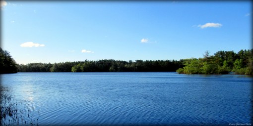
I had come out to Massasoit State Park to start hiking the system of blazed trails. I was prepared to do the blue loop trail at the southern end of the park when I stumbled upon a major obstacle. Sections of the blue loop were closed due to construction. Already committed to a good portion of the loop I backtracked and did the remainder of the open loop before exploring a few of the side trails in the southwestern part of the park. I was informed by a member of the construction crew that the trail would likely be re-opened in a month or so. Nonetheless, the trails that I did explore were rather quiet covered in pine needles and led to several of the parks ponds. The park itself is quite stunning and well maintained and offers a seasonal campground as well. I will be back in the summer to update this blog.


Map can be found at: Massasoit South

TWRI-Massa02

Big Bearhole Pond

Westville Conservation Area – Taunton


This small and quaint Taunton Conservation Commission property offers a short stroll to the Three Mile River. The property is just west of the bustling city center and offers a variety of features including open grass fields, woodlands, and wetlands. The trails are not blazed but there is a very informative kiosk at the parking area. The property is a haven for small birds. It is advisable to wear long pants as some of the trails pass through bull-briar.

TWRI-Westville

Field in Westville

Wilder – Taunton


The Wilder Management Area straddles the Taunton/Norton boundary. The parking lot and the hike itself is entirely in Taunton. The road to access the property is in Norton. I was joined by a friend today for two hikes in the same general area. We started this hike from the parking area passing the gate. We then followed a dirt road easterly into the property. The road passed areas of woods and fields of corn. We then came to another freshly mowed road to the right. We would turn down this road. If you were to follow the road straight it would lead you into fields and quite literally miles of unmarked trails of the Hockomock Swamp (according to a local I spoke to).  After making the turn, we found ourselves passing several fields of tall grass and wildflowers, as well as freshly plowed fields while darting in and out of areas of woods. It is quite obvious that the land is actively being farmed. The road heads in a southerly direction before looping west and then north back towards the parking area. The last stretch runs through a corn field. We heard the calls of several birds here but saw no wildlife. We also came across a group of people using metal detectors.  This area is open to hunting and orange should be worn during hunting season.


Trail map can be found at: Wilder.

Along The Southern Edge Of Wilder

Along The Southern Edge Of Wilder

Boyden Wildlife Refuge – Taunton

  • Gertrude M. Boyden Wildlife Refuge
  • Cohannet Street, Taunton, MA
  • Trailhead: 41° 52’56.52″N, 71°7’42.08″W
  • Last Time Hiked: August 3, 2013
  • Approximate distance hiked: 2.4 miles
  • Easy with slight elevation


This morning I was joined by a few friends for a hike. Among them was our fearless 3 year old guide who led the way. Needless to say, there was no set or defined path to describe for this hike. We did however cover just about the entire wildlife refuge, and in some cases, twice. Some of the highlights of this property are the fragrance garden which at the time was blooming with bee balm and tiger lilies. We hiked through a dense pine grove as well as a river trail that followed the Three Mile River. We came across a covered bridge as well as a log cabin. We also made our way around a meadow of tall grass. There are about a mile and a half of trails here, but we had hiked slightly more than that. We came across a few squirrels and some butterflies. We could hear plenty of birds and also heard a frog. (Side Note: Our trail guide fell asleep on the way home!)

I did not find a trail map online.

A Trail At Boyden Wildlife Refuge

A Trail At Boyden Wildlife Refuge