Wolf Hill/Mercer Lookout – Smithfield
- Wolf Hill Forest Preserve/Mercer Outlook
- Waterview Drive, Smithfield, RI
- Trailhead: 41°53’56.01″N, 71°32’22.30″W
- First Time Hiked: July 27, 2014
- Last Time Hiked: August 5, 2018
- Approximate distance hiked: 4.0 miles
- Moderate to difficult due to elevation.
The Wolf Hill Forest Preserve is another Smithfield Land Trust property. It offers several miles of trails, a couple of overlooks, and a World War II memorial. We had a small group out for this very humid hike. We had rain approaching from the west as well. We started at the green blazed trailhead on Waterview Drive. The trail immediately ascends and winds up the hill. The green blazed trail passes through areas with several types of trees and is quite rocky in some areas. When we reached the yellow blazed trail we turned left to follow it. The yellow trails winds through an area of moss covered boulders before coming to the power lines. After crossing under the power lines the trail turns right up an area of outcrop before turning left back into the woods. After entering the woods again we came across some fellow hikers from The Rhode Island Hiking Club doing one of their infamous “Wolf Hill Exercise Hikes”. After chatting briefly with them we moved on along the yellow trail to the site of the World War II plane crash. Three U.S. servicemen died here on August 5, 1943 after their plane experienced an engine failure and crashed on Wolf Hill. The Airmen’s Memorial features a large boulder, believed to be where the plane came to its rest, and a plaque with the names of the servicemen. We then continued on the yellow trail until we reached the white trail. The two trails intersect here. We stayed to the right onto the white trail following it until, first crossing the blue blazed trail, then continuing along the white before we turned left onto the blue blazed trail as it intersected once again. The blue blazed trail brought us to the Mercer Lookout. On a clear day it is said that you can see Providence, Brayton Point in Somerset, the upper Narragansett Bay, and the Mount Hope Bridge in Bristol. Today, being hazy, cloudy, and humid, we could see only parts of Providence. There is also a chimney here, being the remains of what was once believed to be a cabin. After we lingered for a bit here we retraced our steps back to the intersection of the white and yellow trails. We then followed the white trail instead of making our way back down the yellow. The white trail eventually led back across the power lines and to the Ken Weber Memorial Trail which is a red blazed trail at the next intersection. Ahead is an unblazed trail that leads to the Quarry Overlook. We turned right following the red blazed Ken Weber Trail to its end at the green trail. For those so inclined of a more challenging hike, instead of following the red trail to its end, pick up the green trail about two tenths of a mile after turning onto the red trail. It will lead you almost all the way down Wolf Hill before sending you back up. The trail is very reminisce of trails I have hiked in the White Mountains in years past. Although challenging, the beauty of this section of the green trail is well worth it. There is one area that has a massive rock wall as the trails passes it. Regardless of which route you choose, from the intersection of the end of the red trail and green trail, follow the green trail back to the beginning of the hike. Although it was a gray and humid day the weather held out until just about the end of the hike.
Trail Map can be found at: Wolf Hill/Mercer Lookout.

Airmen’s Memorial At Wolf Hill

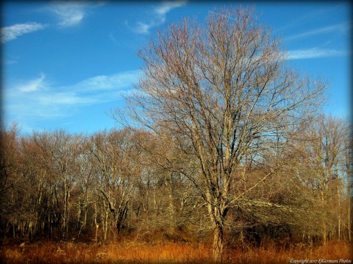
Along The Green Trail