Carbuncle Pond – Coventry
- Carbuncle Pond/Place Farm – Nicholas Farm State Management Area
- Plainfield Pike, Coventry, RI
- Trailhead: 41°41’56.91″N, 71°46’19.02″W
- First Time Hiked: April 16, 2014
- Last Time Hiked: June 19, 2020
- Approximate distance hiked: 3.5 miles
- Easy with some elevation.
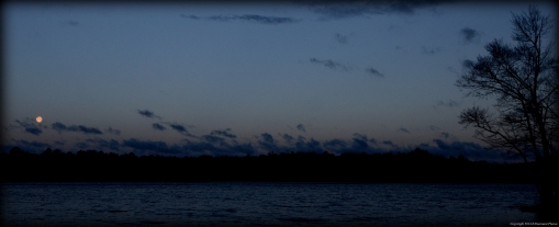
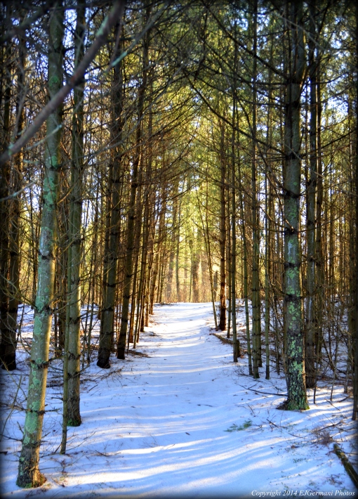
Spring in New England… I woke early this morning to the sound of a driving rain and sleet against the window. When I left the house the roads were wet with water. By the time I got to Western Coventry the precipitation had stopped but the roads were covered with a layer of snow. Did I mention it’s mid-April? I arrived at Carbuncle Pond before sunrise and the skies to the west were just clearing. Right place at the right time again, as I found myself watching the nearly full moon setting over the pond before I embarked on my morning hike. Following, for the most part, the hike described in Ken Weber’s “Weekend Walks in Rhode Island” I started this hike from the parking area at the dock and followed the road to the second parking area. From here I followed the edge of the pond to another area that looks like it might be used for parking. At the end of this area (opposite the end of a guardrail) a path opens up to the left. I followed this path to its end as it passed a marsh to the right before climbing up an embankment to an old railroad bed. At the top of the hill I turned right and followed it to an area where there was enough clearance to get a good overlook of the ponds below. I then turned around passing the trail that I came in on and a second trail to the left (I would use after retracing my steps) continuing straight along the old railroad bed until I reached a trestle bridge. This bridge spans the Moosup River and there are plans in the future to connect this area with the Coventry Greenway. At the trestle I turned around and retraced my steps and then turned right at the trail that was marked with blue blazes (this is a segment of the North-South Trail). I then followed the blue blazed trail through areas of pine groves and fields. The skies were now just about completely clearing up and the morning sun was casting long shadows through the trees along this stretch. I could only think of a few more beautiful moments. As the blue trail came out a section of woods I came to an intersection in a clearing. There was a pole with a blue blaze labeled “North South Trail”. Keep this pole in mind for the return part of this hike. At this pole I turned right continuing to follow the blue blazed trail as it descended to Spencer Rock. This is where the Moosup River cascades over a rock formation making for a waterfall. I was here last year, but on the other side, on the much lesser known Perry Farm hike. Today the water was rushing through here much faster than I’ve seen it before mainly due to the amount of rain the area had last night. There were actually flood advisories in the area overnight. After lingering for a bit I continued along the blue blazed trail through thick pines and into another field. At this field there is a very faint trail. In the event it is not visible the trail continues at the opposite end and the left of the field. There is a pole marked with a blue blaze there. The trail continues through more pines and the path narrows quite a bit for a small stretch. As the path descends downhill start looking for a field on the left. The blue blazed trail continues straight to the road. At this field I left the trail and followed the left tree line of the field up to a dirt road. At the dirt road I turned left and followed it to its end. I missed the turn described in the Weber book, however, with a good sense of direction and checking with the GPS I found an alternate route easily. At the end of the dirt road I had noticed the blue blazed North South Trail marker pole I mentioned earlier. If I were to go straight, I would end up back at the railroad bed. If I were to go left, I would end up back at Spencer Rock. So I went right for a few hundred feet before the path split into a three way fork. I followed the path to the right straight down to the road between the first and second parking area. I turned right at the road and followed it to the car. I did not come across much wildlife here other than many birds of all sizes. I did see deer and possibly fox tracks here.
Trail map can be found at: Carbuncle Pond.

