Jewelry District – Providence
- Jewelry District
- Dyer Street, Providence, RI
- Trailhead: 41°49’12.6″N 71°24’23.2″W
- Last Time Hiked: February 4, 2024
- Approximate distance hiked: 1.5 miles
- City walk.
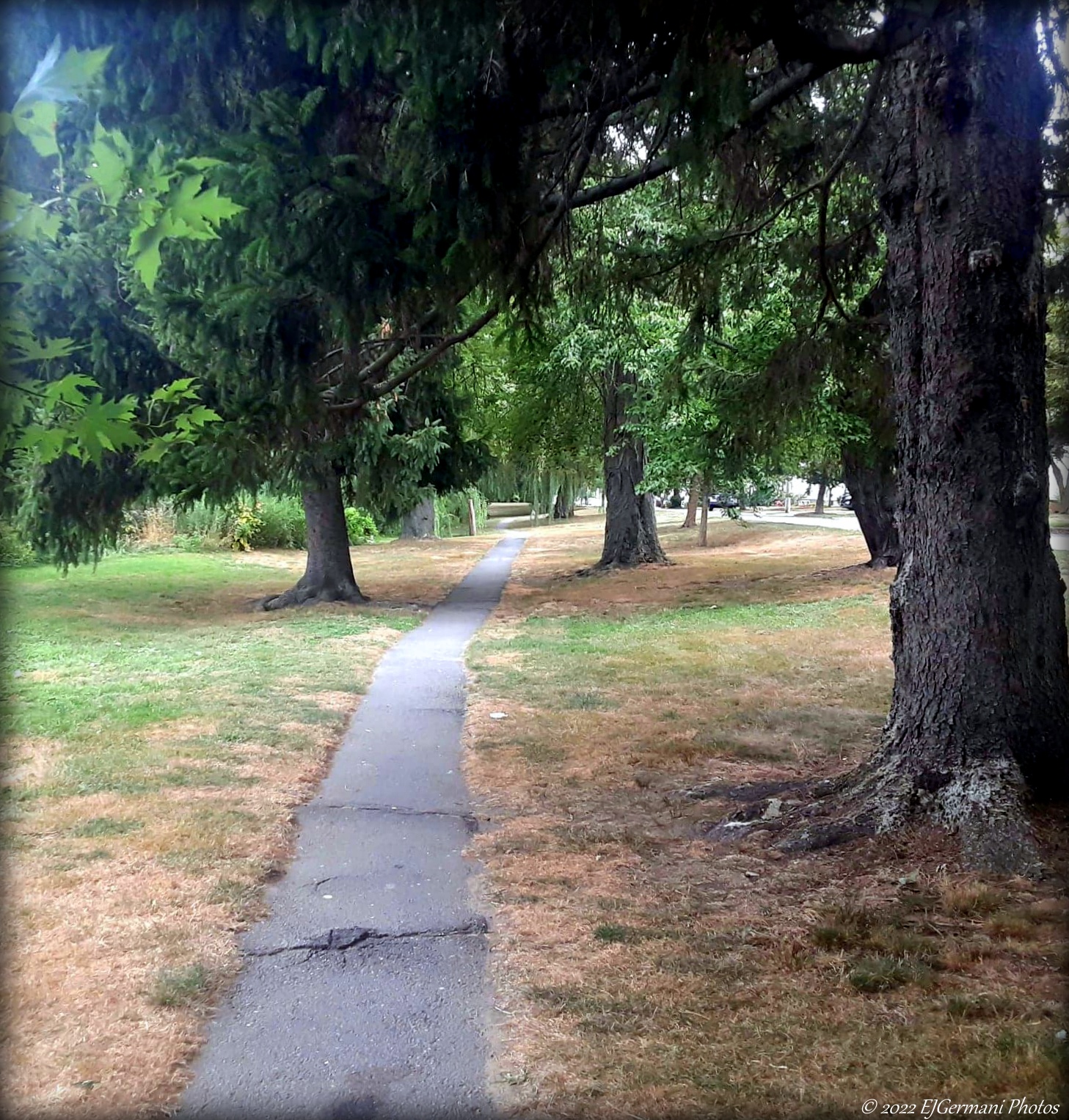
Following (for the most part) a route from a GoProvidence.com brochure, this walk takes you on a short 1.5 mile historic walk of a Providence neighborhood that in its glory days once produce the largest amount of the worlds jewelry. For this walk start at the pedestrian bridge that crosses the Providence River. This bridge is where Interstate 195 once sliced through the city disconnecting the Jewelry District from Downtown. From the bridge walk through the park toward Dyer Street. Cross at the crosswalk where Dyer Street meets Eddy Street. After crossing the street continue straight ahead onto Ship Street. The first building of note is on the left at the intersection Richmond Street. Built in 1928, this building was the Little Nemo Manufacturing Company. Jewelry was manufactured here until the late 1970’s. The building is now part of the Brown University Medical School. Continue ahead on Ship Street for another block and turn left onto Elbow Street. The large 5 story building on your right is the Doran-Speidel Building, built in 1912, housed the Speidel Watch Chain Company. Continuing along Elbow Street you will come a large 8 story brick building with fire escapes. This is the Doran Building and was built in 1907. The company that occupied this building made fittings, buttons, and pins until 1966. The building became one of the neighborhoods condominiums in 1979. Turning right onto Chestnut Street you will first come upon the Doyle House, built in 1825. This is where the former mayor of Providence once lived. His sister Sarah lived here as well. She was one of the founding members of the Rhode Island School of Design. Ahead on the right at the intersection of Clifford Street is the 5 story Hedison-Champlin Building, built in 1888, was the home to the manufacturing of gold chains and rings. Diagonally across the intersection of Clifford and Chestnut is the Irons and Russell Building. Built in 1903, pins and charms were manufactured here. Turn left onto Clifford Street then turn left again a block ahead at Claverick Street. The building on your left is the former A.T. Wall Company Building. Very modern looking for its 1908 build date. It is one of the earliest known uses of reinforced concrete construction in the city. At Bassett Street turn right then turn left onto Imperial Place. The set of brick buildings on your left were once part of the Vesta Knitting Mills and the Imperial Knife Company. There are some impressive stacks viewable from the courtyard. Turning left onto Elm Street you come upon the impressive Phenix Iron Foundry. The 1848 structure is 2-1/2 stories tall with large arched windows at each end. The sash windows are original. Continue down Elm Street one block and turn right onto Hospital Street. After crossing South Street you come to the Coro Company Building on the right. The block long building, built in 1929, became one of the worlds largest manufacturers of costume jewelry in mid 20th century. Closing in 1979, the building then became a health care facility. Turning left onto Point Street, you first come upon the Barstow Stove Company Building(s). The three buildings now look as one with the middle section dating back to 1849. Tops Electric is in the building to the right. The building on the right between Richmond and Eddy Streets is the 1880 Simmons Building. It served as the main building of the Davol Rubber Company before it expanded diagonally across the intersection of Point and Eddy Streets. The cluster of brick buildings of Davol Square, on your left after crossing Eddy Street, first manufactured rubber medical supplies until 1977, then became a shopping mall, before becoming offices. Across the street to the right is the 1903 Manchester Street Power Plant. It supplied a limited amount of energy to the city and was expanded a couple times through the 20th century. It was last renovated in the early 1990’s. Ahead you will see the Point Street Bridge. Built by the Boston Bridge Works in 1928, it spans the Providence River. Turn left just before the bridge and follow the latest section of the Providence Riverwalk back to the beginning point of this walk. On the left along this stretch you will pass the South Street Landing. The once former Narragansett Electric Company Building now houses a nursing school. First in operation in 1912, the power plant was decommissioned in 1995. Finishing this walk you will be greeted with sweeping views of the Providence skyline.
Trail Map: Jewelry District
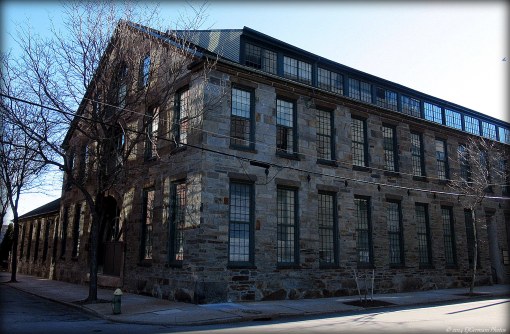
Phenix Iron Foundry