King Preserve – North Kingstown
- King/Benson Preserve
- Boston Neck Road, North Kingstown, RI
- Trailhead: 41°30’56.02″N, 71°25’23.72″W
- First Time Hiked: November 25, 2016
- Last Time Hiked: December 4, 2021
- Approximate distance hiked: 3.5 miles
- Fairly easy with slight elevation.
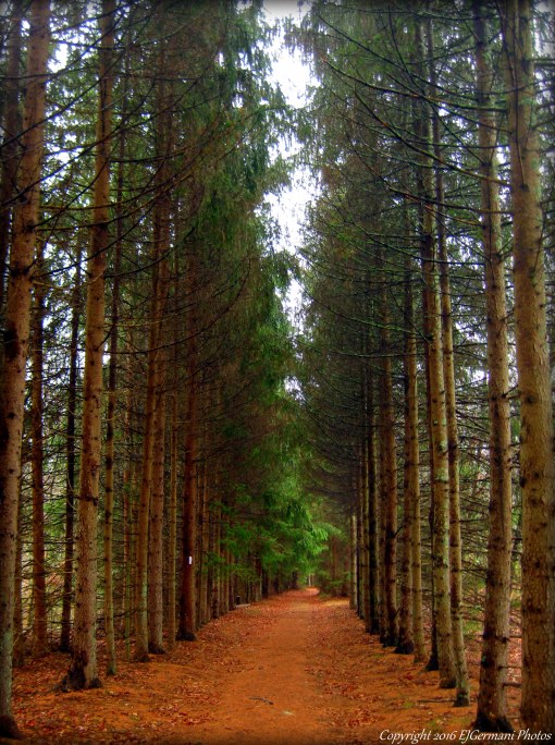
Named for Dave King, the first executive director of the Champlin Foundations, this is Rhode Islands newest Nature Conservancy property that now has trails open to the public. It is so new in fact that the trails in the Benson Preserve property are still under development. The property is just north of Casey Farm and stretches from Boston Neck Road westward to the Narrow River. The blue trail from the main parking area meanders westerly into the property, passing stone walls and small boulders, for about a mile before coming to the yellow trails. Turn left at the yellow trail and follow it to its end. Along the way look for a rather unusual rock on the right that seems to point. You will pass a yellow trail to the right as well. You will return on this trail. At the end of the yellow trail you will come to a four way intersection. The yellow loop trail is to your immediate right and a trail spurs to the left to Casey Farm. Ahead and to the right is the white blazed Pettaquamscutt Trail. Follow this trail to two of the preserve features. The first on the left is a small beach that overlooks Narrow River. This is an old Girl Scout Camp beach. Back on the white trail you will soon find yourself walking through a canopy of tall spruce trees. Here we spotted a fox. The white blazed trail then turns to the right and comes to a set of trickling waterfalls. Continuing along the trail you soon cross onto the Benson Preserve. There is signage indicating that the trails are still being developed. From here you can retrace your steps or forge ahead follow the un-blazed trails. If you choose the later be sure to use some sort of GPS in case you need to backtrack and be very aware of your footing. The white trail is blazed for a few more hundred feet. Soon you will see a trail to the right. It is currently marked with pink survey flagging. Following this flagging (soon to be blazed white) and carefully following the currently less defined trail you will come to a wood footbridge at a stream crossing. A few feet after that you will turn left onto the blazed yellow trail. Follow this trail to its end turning left again onto the main yellow trail. From here retrace your steps back to the parking area following the yellow then blue trails. Hunting is allowed on this preserve, be sure to wear orange during hunting season.
A note about the bordering Casey Farm property: Casey Farm is open to the public during daylight hours for hiking trails at Casey Point or those adjacent to King Preserve. Please note dogs must be on leashes, clean up of course, and respect the young people and farm animals by keeping dogs away from the farmyard and fields. Access Casey’s woodland trails via the King Preserve. Camp Grosvenor is not open to the public for hiking. Access Casey Point on Narragansett Bay via the gate on Boston Neck Road. We are working on getting better signage. Feel free to contact me with any questions: Jane Hennedy, site manager, 401-295-1030 ext. 5, jhennedy@historicnewengland.org.
Trail Map: King/Benson

Spruce Grove